
Last modified: 2024-09-26 by rick wyatt
Keywords: vance county | north carolina |
Links: FOTW homepage |
search |
disclaimer and copyright |
write us|
mirrors
![[flag of Vance County, North Carolina]](../images/u/us-nc-vn.gif) image located by Randy Young, 24 July 2014
image located by Randy Young, 24 July 2014
![]() - indicates flag is known.
- indicates flag is known.
![]() - indicates it is reported that there is no known flag.
- indicates it is reported that there is no known flag.
Municipal flags in Vance County:
See also:
Vance County's flag from
http://www.vancecounty.com/
"Originally a part of the State of Virginia, King Charles II of England re-drew
state lines in 1665, thus putting what is now Vance County into the State of
Carolina. As the area prospered in the mid to late 1800's, the idea of creating
a separate county surfaced. After original legislative efforts to name the new
county as "Gilliam" and later as "Dortch" failed, Vance County was established
on May 5, 1881 by the North Carolina General Assembly and was named after
Governor Zebulon Baird Vance, who was known as the Civil War governor.
Seventy-three percent of the land territory of the new county came from
Granville County and the remaining twenty-three percent came from Warren and
Franklin Counties.
When first established, Vance County's population was approximately 9,000.
Today, it has grown to about 42,000. It had a tax base then of about $2 million,
now its base is well over $2 billion. Kerr Lake, the largest man-made lake east
of the Mississippi River, was built in the 1950s as a means of flood control
for eastern N.C. Since that time it has become one of the State's largest parks
and tourist attractions."
Dov Gutterman, 5 December 2002
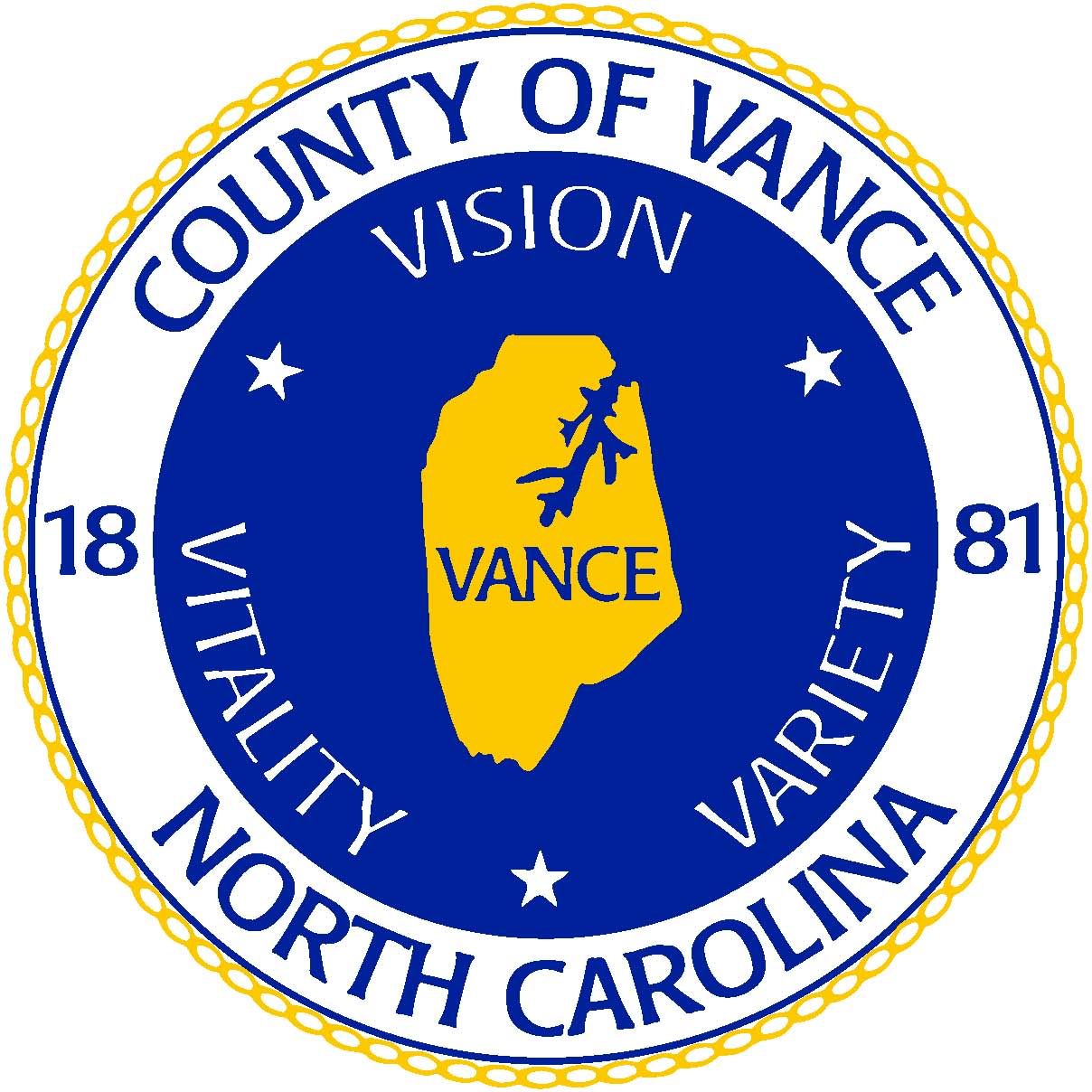
![[seal of Vance County, North Carolina]](../images/u/us-nc-vn).gif) image located by Paul Bassinson, 10 August 2018
image located by Paul Bassinson, 10 August 2018
Source:
http://www.vancecounty.org/wp-content/uploads/2013/10/Vance-Co-NC-VECTOR-logo.jpg
Paul Bassinson, 10 August 2018